Canadian
Tour
Maine, Nova Scotia, Prince Edward
Island, Quebec, Ontario, Michigan, Minnesota
Travels from Maine
through the eastern Canadian provinces: September
6 to September 30
(Pictures are
thumbnails. Click on them for a larger view. You may click on the subjects
listed to go directly to them.)
Subjects:
Boothbay Harbor
Bar Harbor
Acadia National Park
Nova Scotia
Bay of Fundy Whales
The Ovens Park
Lunenburg Maritime Museum
Peggy's Cove
Halifax Citadel
Bay of Fundy Tides
Pictou
Green Gables
Prince Edward Island
New Brunswick
Quebec City
Montreal
Vermont
Ottawa
Ontario
Canadian Bush Plane Museum
Mackinac Island
Iron Mountain Mine
Twin Cities
This update is heavy on pictures showing the
striking beauty of the Northeast, the St. Lawrence Seaway, and the North Woods,
so sit back, pour a cup of coffee while it downloads, and enjoy!
|
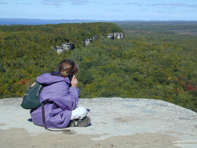
A great example of the
striking beauty of the Northeast is Manitoulin Island which is in Lake Huron.
It is reached from Espanola, Ontario and is the largest island surrounded by
fresh water in the world. After a 2.5 km hike (about 1.6 miles when
applying the conversion factor that Stephanie is now expert at) to the top of a
cliff, Stephanie makes a cell phone call home to her friend Emma. She
misses all her friends at school and welcomes e-mail from one and all.
|
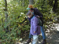
Our travels in September have taken us across
new territory to us all: the US and Canadian Maritimes, in glorious fall color
(or colour in Canada). We've lucked out at LL Bean, eaten from paper bags at a
lobster pound and had glorious biking and canoeing weather in Maine. We enjoyed
a Celtic Ceilidh (kay lee) or house party on Prince Edward Island, seen whales
on the Bay of Fundy Tides, eaten grenouille (frog legs) in Quebec and been tantalized
by miles of canoe trails in Ontario. Canada has had many special secrets to
share, and we're determined to return. Back in the US, Mackinac (pronounced mack
i naw) Island charmed Stephanie so much we're plotting how she might return for
a college summer (and we could come to visit).
Stephanie has a new written report in her Schoolwork
section on Space Camp and there are three new maps in the New
Maps section (older maps are now
archived to speed downloads).
After a few days in the North Woods and Twin
Cities, we are taking a short jog back into Nebraska (for business, no less) and
then on to Yellowstone and Oregon. We'll send our next updates from California.
Back to Top
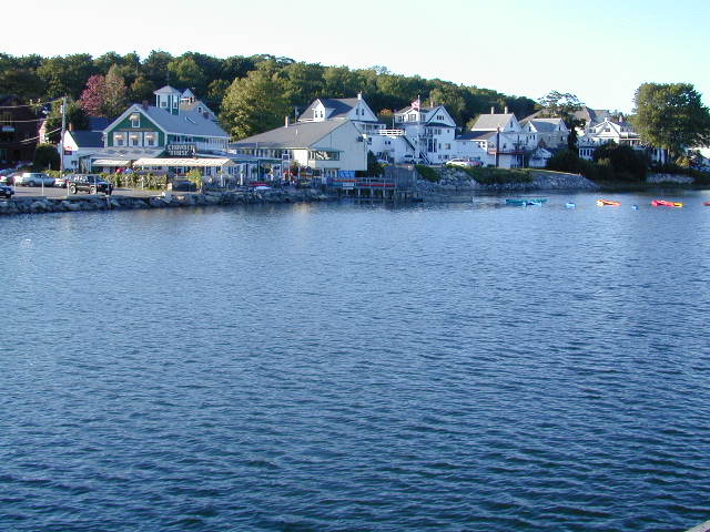
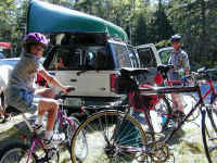
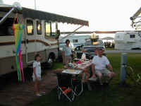
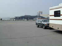
Boothbay Harbor
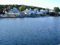
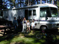
Boothbay Harbor is
a tourist town around a picturesque harbor, but becomes very pleasant after the
high season subsides. It also provided a convenient base for visiting the LL
Bean complex in Freeport. As we packed up to go the last morning we met a
family--in the next site--with a 10 yr. old girl and 13 yr. old boy who were in
the midst of a trip similar to ours! We exchanged cards and itineraries, and
hope Stephanie and Stacy can become e-pals. Perhaps our paths will cross again
as we both plan to be in Europe at the same time. Wish we'd had more time to get
to know them...
Back to Top
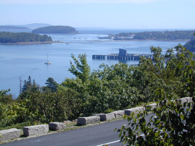
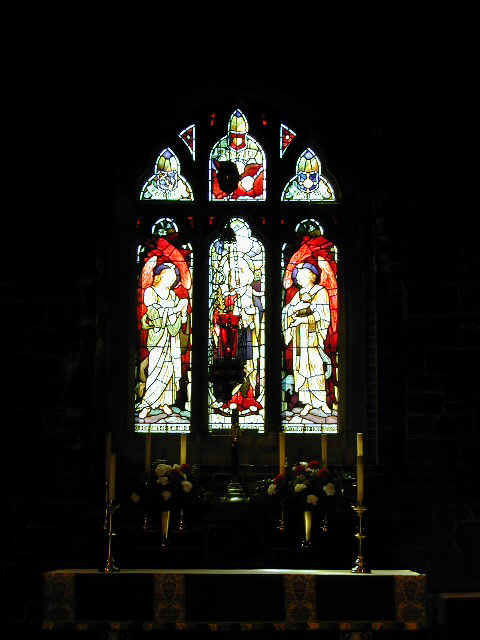
Bar Harbor
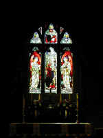
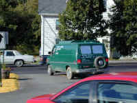
Bar Harbor is the
"big" town on Mount Desert Island, better known as the site of Acadia
National Park. The first picture above shows the sand bar, big enough to drive
on at low tide, which gives the town its name. We visited a small church which
has dozens of fabulous stained glass windows including several by Louis Comfort
Tiffany himself. Finally, this van reflects the real personality of down east
Maine. Now that most tourists have gone, the advertising turns to more practical
matters.
Back to Top
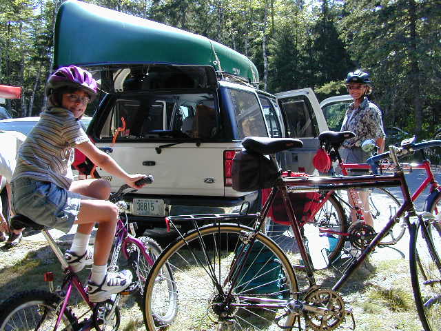
Acadia National Park

Given to the Park
Service by the Rockefeller families among others, Acadia reflects both the
natural beauty of mountains meeting sea and its history as a summer resort for
the family and friends. It's honeycombed with carriage trails, carved out of the
granite expressly to be enjoyed by bikes and horses...no cars allowed. We
enjoyed a long ride with the Brestels, who joined us for the weekend. Stephanie
found a nice bench where she could spot fish in Eagle Lake.
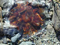
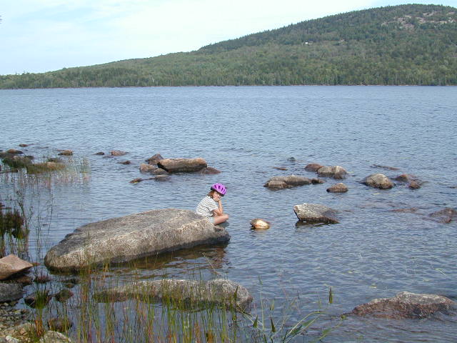
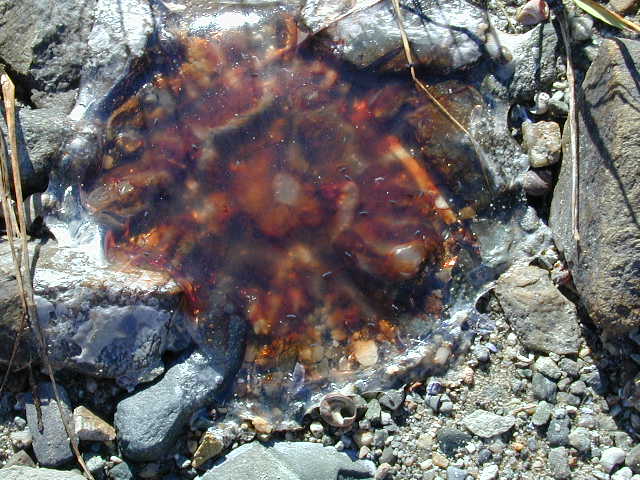
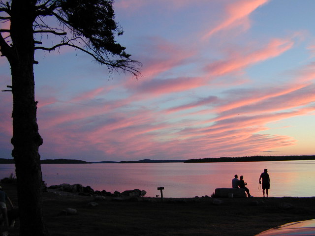
This was one of
those places where our campsite had a brochure-quality vistas. While Martha, Ron
and Denny watched the Nebraska football game, Jennifer checked tide pools. Steph
found lots of red moon jellyfish at low tide. They apparently have nasty
stingers, but they were pretty harmless on the rocks. The company and the
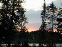
sunsets were superb.
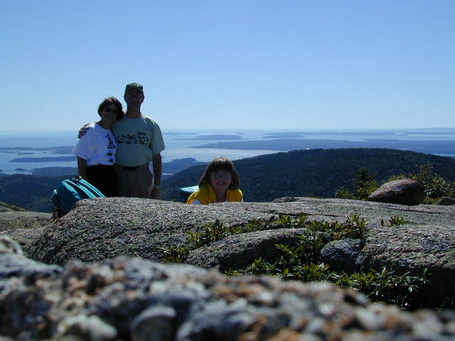
Blessed with great
weather, we drove up Cadillac Mountain, the highest coastal mountain on the East
Coast, and were staggered by the beautiful view. Steph is pulling the canoe
uphill after exploring Long Pond later in the day. (Mom is just steering!)
Back to Top
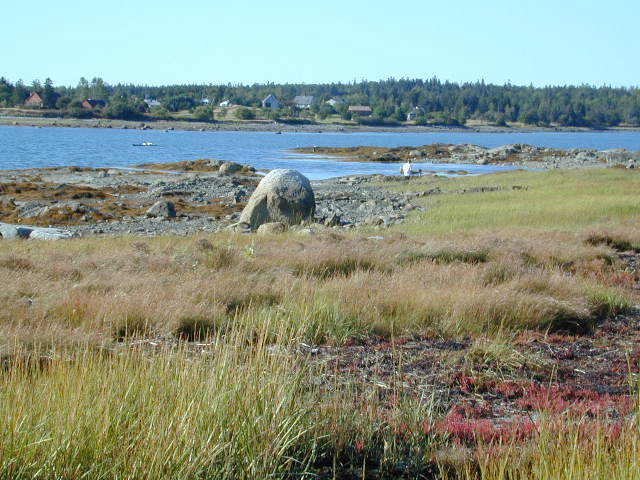
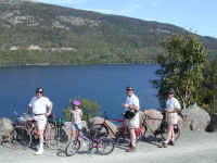
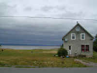
Nova Scotia

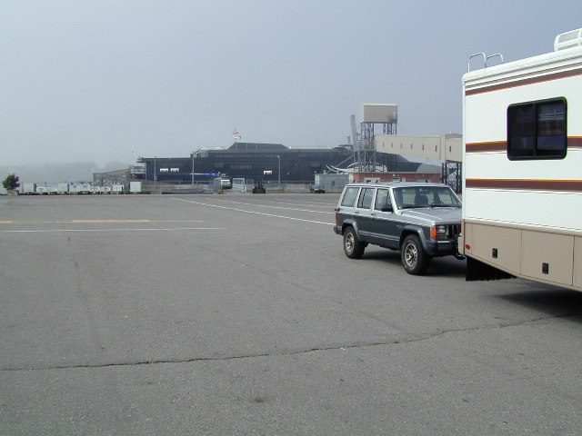
We took the high
speed "Cat" ferry from Bar Harbor to Nova Scotia right after the Coast
Guard completed its inspection. We thoroughly enjoyed the 3+ hr trip, but Java
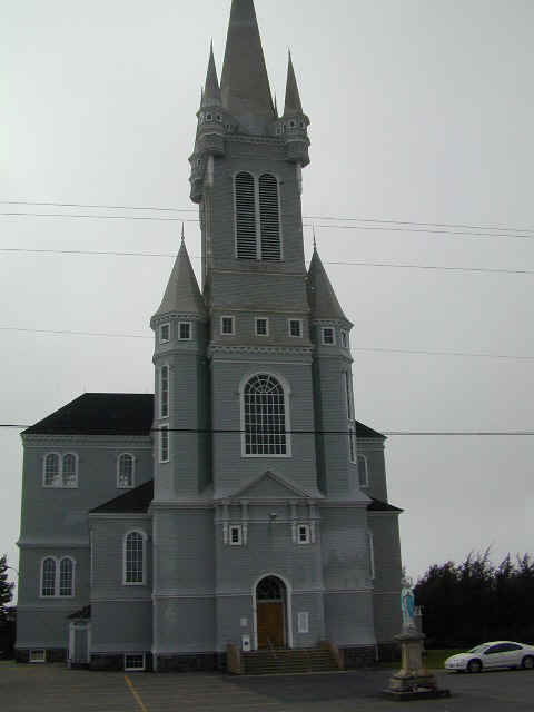
got very seasick locked in his box in a box in a box. The northwest shore of NS
is known as the Evangeline Trail after Longfellow's epic poem about the Acadian
expulsion by the British. Many of the towns are still very French, and every
town has a church with a different style. The Norman one shown is built out of
granite!
Back to Top
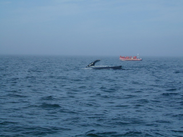
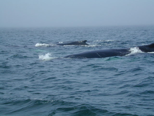
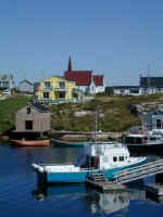
Bay of Fundy Whales
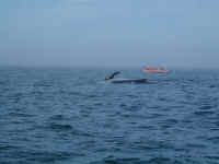
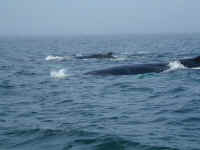

We
were lucky enough to go whale watching. Though it's late in the season, several
species are still in the Bay feeding before they go south for the winter (smart
mammals that they are). It's a very rich feeding ground due to the enormous
tides which fluctuate up to 52 ft! We followed this pod of three humpbacks for
nearly an hour, and saw tons of dolphin too. The whale watching boats all collect
data on their sightings which is helping preserve the species in trouble, like
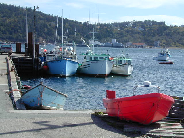
the Atlantic Right Whale. Except for these tourist operations during the summer,
though, all of Nova Scotia is commercial fishing country. The wharf scene is
typical when the boats are in port.
Back to Top
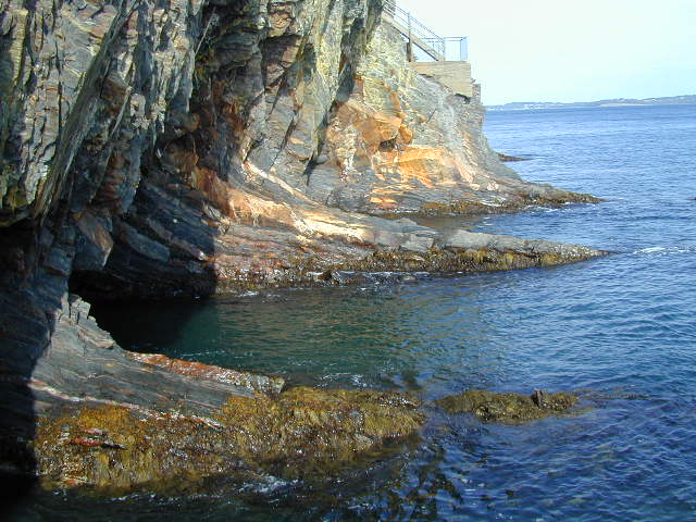
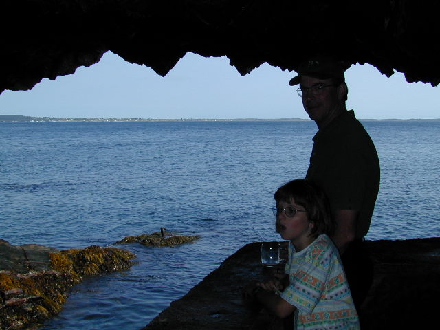
The Ovens Park
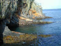

We stayed at a
brochure-quality campground in a scenic park where the cliffs have eroded to
form seven caverns called The Ovens which are connected by trails. Some make booming sounds at
high tide like cannons or thunder. Others are just very picturesque.
Back to Top
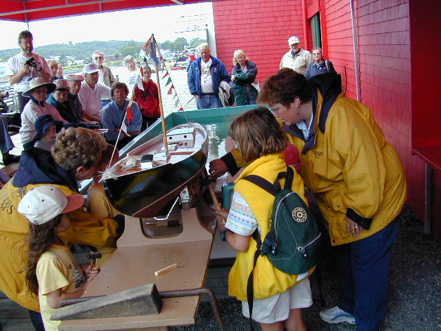
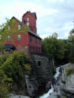
Lunenburg Maritime Museum

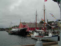
Lunenburg, just down
the road from The Ovens, is an old shipbuilding port, famous for having built
the Bluenose and Bluenose II schooners which won the international racing
trophies for years and years. Many of the old seacaptains now work at the
museum, demonstrating tools, boat building, or just explaining how the schooner,
long-line and trawler boats really worked. It's a rich heritage and wonderfully
preserved. Stephanie is shown assisting in the launch of a boat using the wedges
and braces used in real boat launches. The second picture shows a few of
the many boats moored there with crew aboard to explain the intricacies of their
craft.
Back to Top
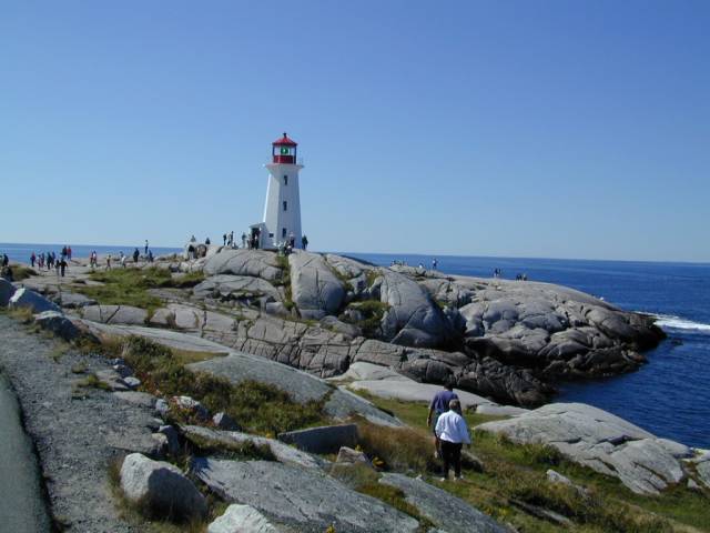
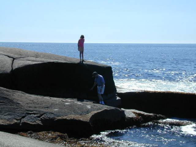
Peggy's Cove
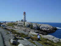
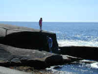
En route to Halifax
we stopped at Peggy's Cove, a tiny, pretty place overrun with tourists of every
shape and stature. The parking lots were full to the brim with buses so we
parked Betty and walked in. The ant-like figures all over the lighthouse rock
tell the story, but Denny and Steph found a piece of rock to themselves. Be
grateful we didn't include ALL the pictures that were keepers on this
page...this really is a photogenic spot, and we got dozens.
Back to Top
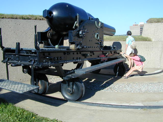
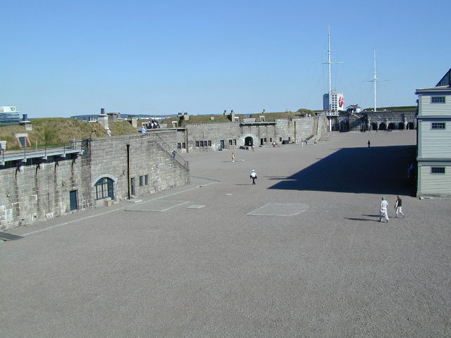
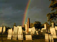
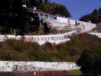
Halifax Citadel

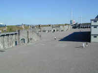
Halifax is mostly
known as a strategic port for the British throughout their occupancy of North
America, and as a result they poured tons of money and armament into Halifax's
fortifications. With each new war, the guns got bigger and the fortifications
spread up and down the river. The Citadel overlooks the harbor and city and has
reenactors (in ostrich plume hats) who portray the guard and officers of the
fort during late 18th century. This was our first acquaintance with US history
from a "foreign" viewpoint. We are not always the good guys!
Back to Top
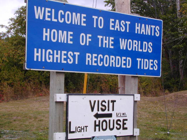
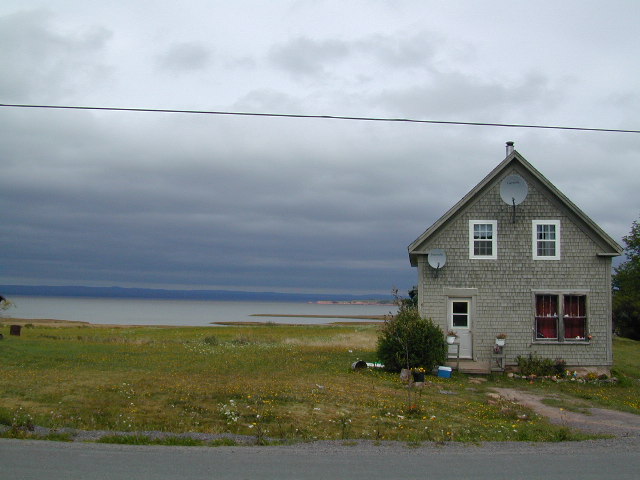
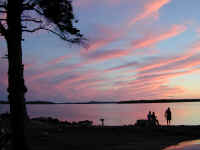
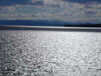
Bay of Fundy Tides
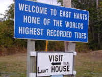
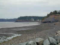
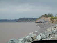
The Bay of Fundy,
between Nova Scotia and New Brunswick, has the highest tides in the world...over
50 ft. We picnicked on the shore to watch it come in, and the pictures show
about a half hour duration during which it came up easily 20 ft of shoreline.
It's hard to imagine how far out the whole 6 hr. tide would take it. The
fisherman next to us had to move his chair every five or ten minutes!! We've
seen satellite dishes everywhere, but many houses here, even the modest ones,
have two.
Back to Top
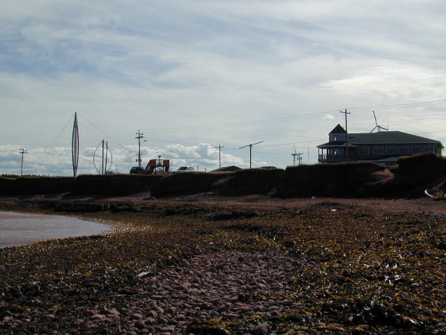
Pictou
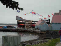
Pictou, on the north
shore, was the site of the first Scottish landing on Nova Scotia in 1773. To
commemorate the landing, they've built a replica of the ship, Hector, and were
ready to launch. After 10 years of work, they had done a great job of
preparation and the excitement was tangible. The Bluenose II which had been
built in Lunenburg (see above) was in port and open for tours. Though the
Hector's launch was to be held the next day, the wedges and greased rails were
in place, techniques very similar to those Steph had used in Lunenburg. The tale
of the Scots and their emigration to Canada is probably similar to what we'll
learn in New Zealand in a few months, too. It's been very exciting to see the
history come alive and the facts and culture be reinterpreted as we go from
place to place.
Back to Top
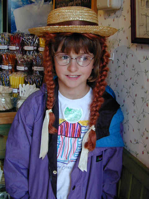
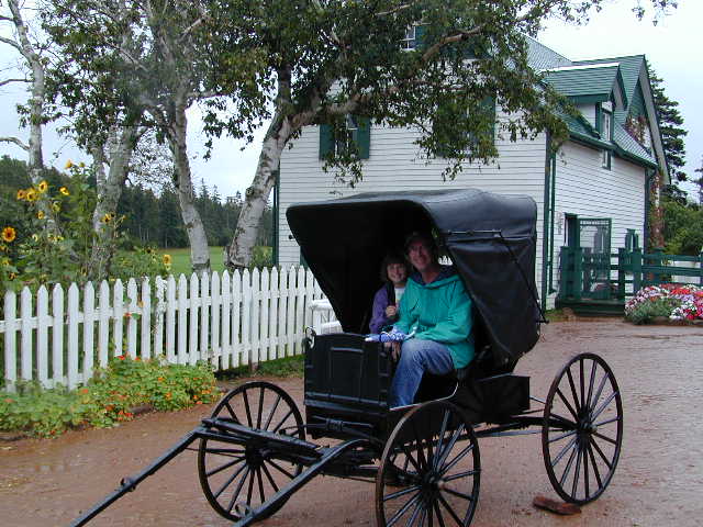
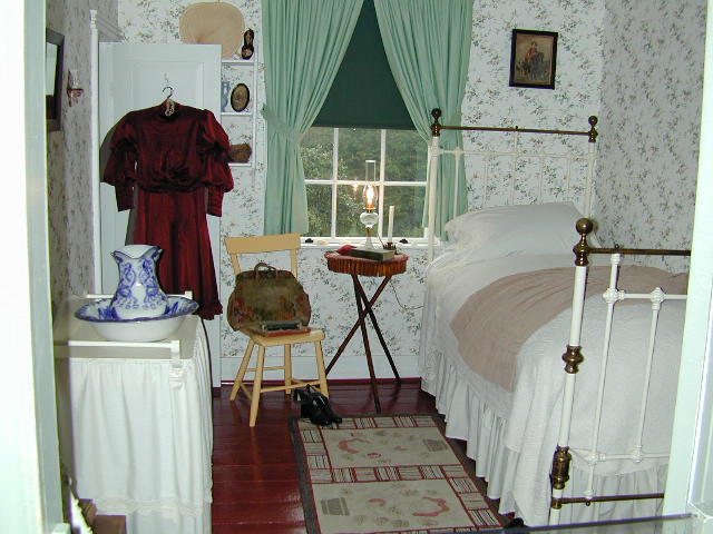
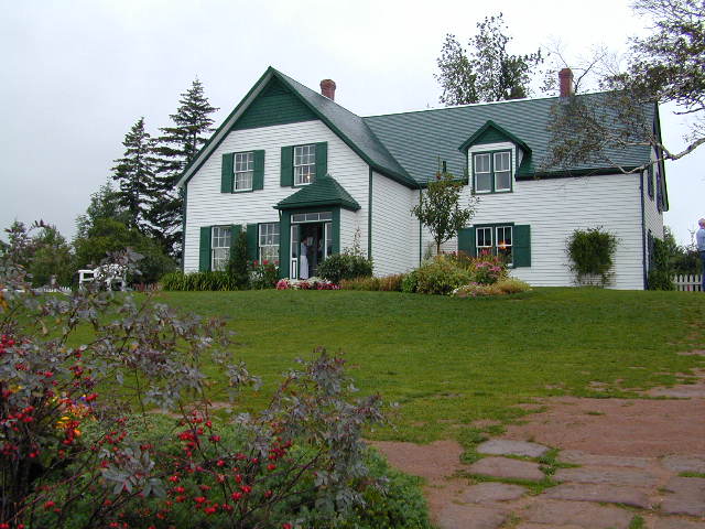
Green Gables


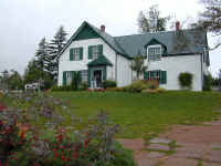
Next stop was Prince
Edward Island, best known as the setting of Anne of Green Gables by L. M.
Montgomery. We visited the Green Gables house which is part of a large
provincial park. Anne's room in the real house (which belonged to Montgomery's
grandfather) is exactly as it is described in the book. The haunted wood is as
described too, if you can ignore the golf carts on the paths nearby! Steph had
read part of the book, but the house refreshed her interest, and she's now
halfway through the second of the six books.
Back to Top
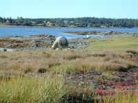
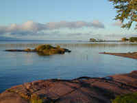
Prince Edward Island
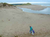
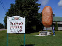
PEI is bounded by
a long national seashore with fine white granite sand and "the
warmest waters north of the Carolinas". It is also very agricultural, and
we couldn't resist comparing this "world's largest potato" with the
larger one we saw in New Brunswick and the great potato fields of the San Luis
Valley in Colorado.

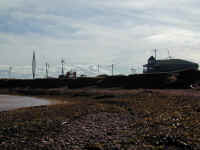
We drove to the
northernmost part of PEI to see the two tidal basins come together in a big
churning line. The seals and gulls define the boundary between the waters as
much as the water, but it is eerie to see water coming at you from three
directions at once. North Cape is very windy and the site of an experimental
wind turbine research center.
Back to Top
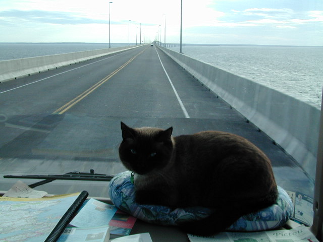
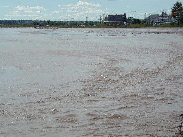
New Brunswick
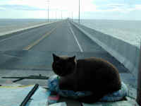
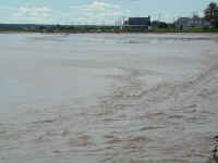
We left PEI via the
new 8 mile bridge to New Brunswick. Java is impressed. We hoped to catch the
tidal bore in Moncton where the Fundy tides purportedly create a standing
wave which reverses the flow of the river in one sweep. It didn't show up that
day!! So we can tell you where in the guidebook to look, but not what day to
look.
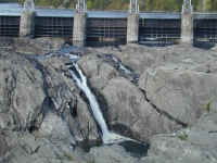
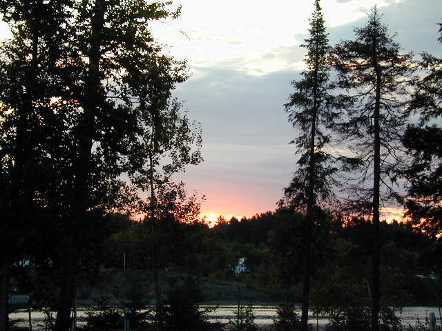
We had more brochure
quality views from our campground on the St. John River, but it was just too
late in the season for the Grand Falls. Fortunately, they had pictures in the
visitor's center showing what it looks like when 90% of the water volume of
Niagara Falls comes over this drop. It's veeerrrry impressive...say, in March?
Back to Top
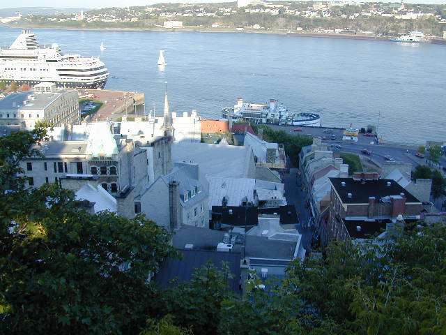
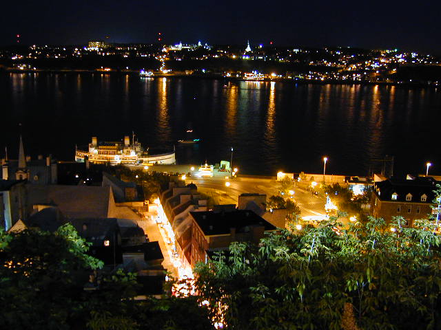
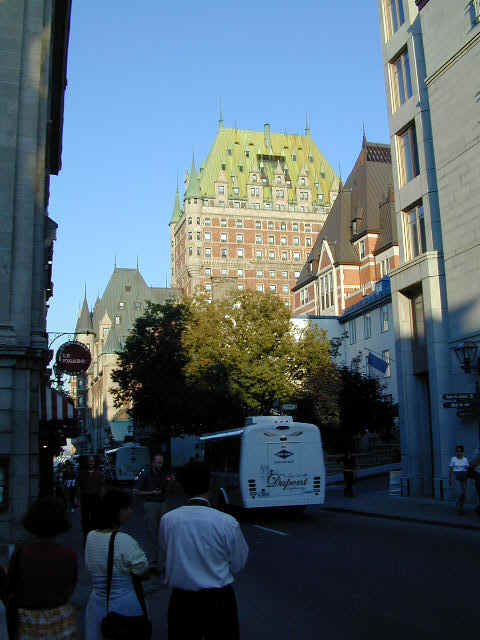
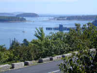
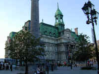
Quebec City
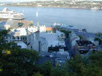

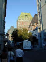
Quebec is the one
province in Canada which has held adamantly to its French heritage. Quebec City
is the high point, with its old city sitting on top of a cliff overlooking the
St. Lawrence River, and its quaint Victorian buildings and small French
restaurants. It truly is French, in look, feel and sound. And the view from the
cliffside, which you get to by funicular (a sideways elevator-like car that
seems to go straight up), is spectacular. The day and night scene
overlooking the St. Lawrence River give you a sense of how spectacular the view
is from the cliff.
Back to Top
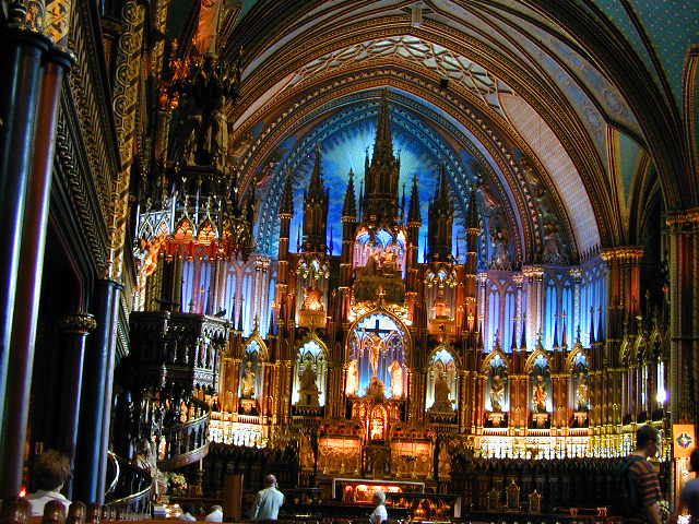
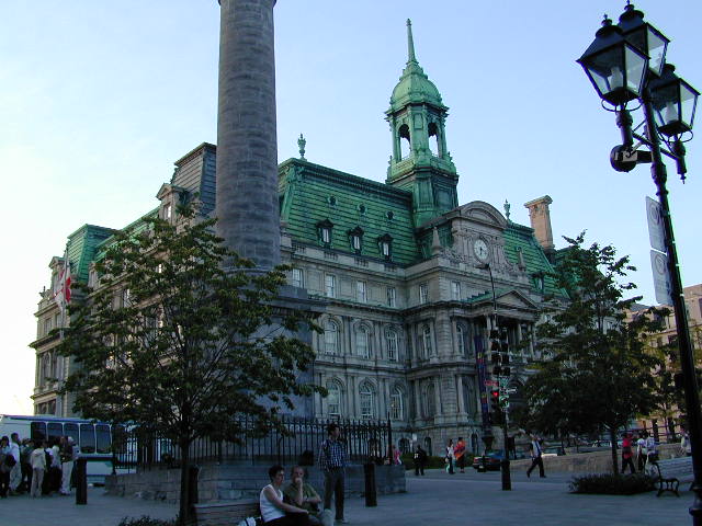
Montreal
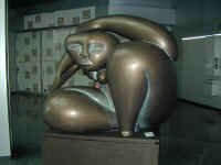

Larger, and more
cosmopolitan than Quebec, Montreal is nonetheless French at its heart. We saw
this interesting statue in the bank next door to the McCord Museum of Canadian
History, and caught another rendering of it later in Ottawa. The glass and wall
paintings in Montreal's Basilica of Notre Dame show both English and French
gothic roots. The Maison de Ville (city hall) looks like it could be in Paris.
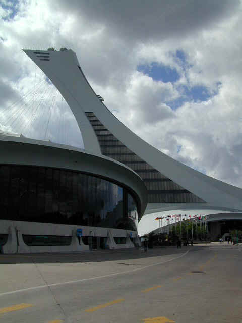
And the boulevard below captures the old city at its best. The wild architecture
of the Biodome was created for the Montreal Olympics in 1962. The Biodome is
similar to an aquarium with animals (tho not many) and four different habitats:
rain forest, Laurentian highlands, Laurentian maritime and polar climes. The
exhibits were good, but it appeared they're retooling the animal exhibits
substantially.
Back to Top
Vermont
Jennifer loves New
England, and since we'd abbreviated time in her old stomping ground we took a
side trip to Lake Champlain and northern Vermont, right across the border from
Montreal. It was an interesting afternoon with threatened rain, great light and
turning leaves so we had beautiful views everywhere from the lake to Mt.
Mansfield.
Back to Top
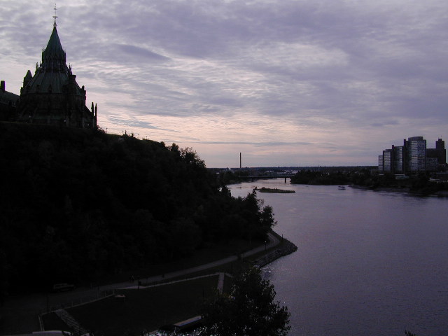
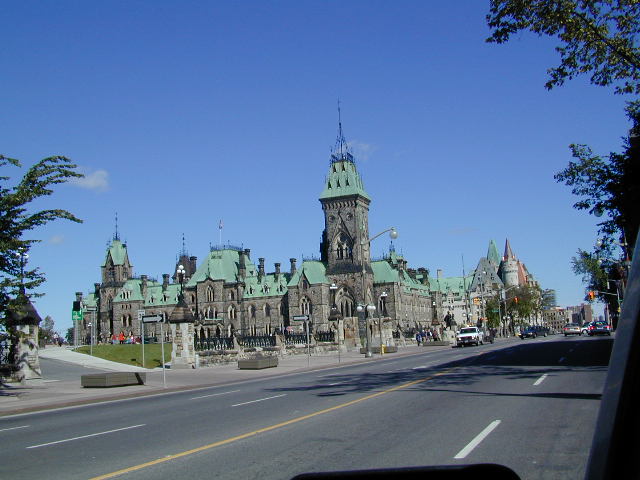
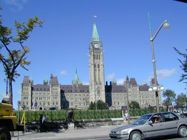
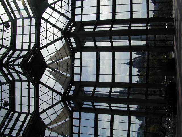
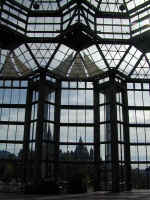
Ottawa
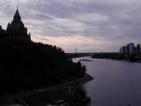
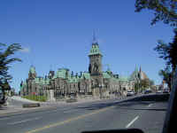
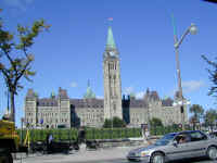

Denny's business
dictated redirecting our path toward Nebraska, so rather than retrace I-80, we
headed across northern Ontario through Ottawa. Java made friends at a gas stop,
and then we headed up to the central city. We walked around government hill and
revered in the Victorian Parliament buildings with their gargoyles and copper
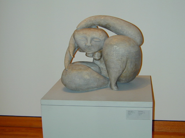
roofs. We then headed to the National Gallery (with a view back to Parliament)
to see the Group of Seven, early 20th Century painters including Tom
Thompson, who struggled with capturing the vast Canadian scenery, and figured
out several techniques to do so. We also saw a smaller version of the statue
we'd seen in Montreal and a fabulous collection of native Inuit art which set a
very high standard.
Back to Top
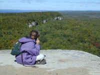
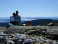
Ontario
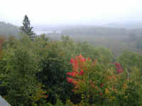

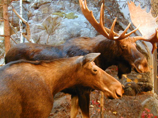
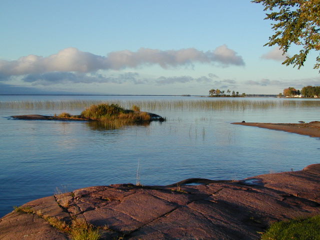
Continuing west, we
swung through Ontario's huge Algonquin Provincial Park, nearly 3000 square miles
of wilderness, which was just beginning to show brilliant red sugar maples at
their best. We longed to see moose, but the visitor's center was as close as we
got! That night we had a beautiful campground on the shores of Lake Nippissing.
The following day we drove to Manitoulin Island (literally God's Island), the
largest fresh water island in the world and the separator between Lake Huron and
Georgian Bay. We took the afternoon to hike to the high point (1200 feet or 364
meters after Steffi applied her conversion factor) for a
view of the Niagara escarpment, the exposed granite and limestone cliffs left
when the glaciers retreated 11,000 years ago. We hiked along the cliffs for a
view, and at the top Stephanie called her buddy Emma to share the view. Isn't
technology amazing? The cliffs were sheer hundred foot faces, so no one
felt much like dangling their feet.
Back to Top
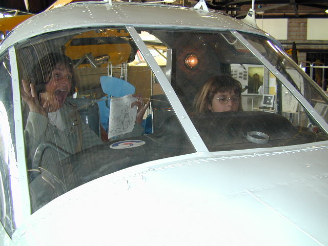
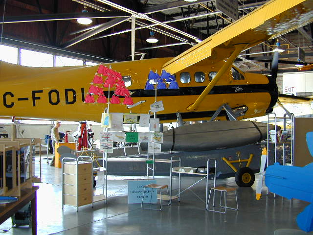
Canadian Bush Plane Museum

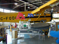
Canada pioneered
land management and forest fire management by using a wide variety of bush
airplanes and fire fighting techniques. Samples of nearly everything used or
designed for this purpose are on display in the Bush Plane Museum in Sault Ste.
Marie. There are models to sit in and rare aircraft to tour as well as a fire
lookout, wilderness camp and excellent interpretive displays. Stephanie is
practicing flying a bush plane over a fire while mom 'cooly' looks on! The
plane shown is a DeHavilland Beaver. The coolest things
were the first person stories of fires and crashes and near misses alongside the
exhibits.
Back to Top
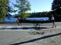
Mackinac Island
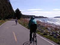
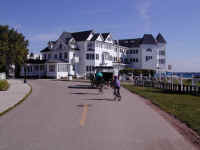
Mackinac Island was
a modest resort until the Grand Hotel was built, bringing in money and tourists.
In an attempt to restore its simple resort flavor, there are now no cars or
trucks on the island, leaving it free for hikers, horsemen and walkers. It's
quiet and full of funky B&Bs, any one of which would be a great weekend
getaway or summer vacation. Stephanie was instantly charmed and wanted to stay.
The roads are paved and rental bikes are plentiful, but we had a ball on our own
bikes brought with us on the ferry. Fort Mackinac was built by the British, but
changed hands several times as the War of 1812 and the fur trade impacted this
part of the world. Now it's full of well-done displays and exhibits.
Back to Top
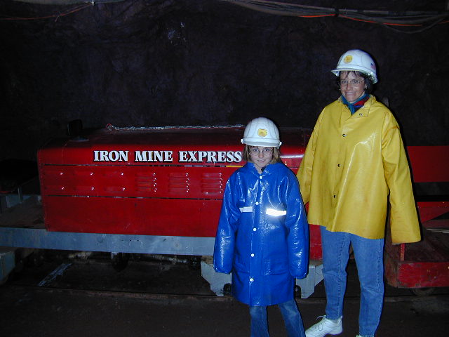
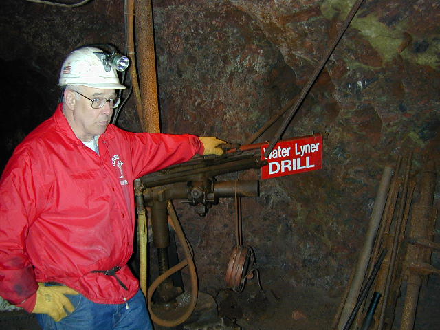
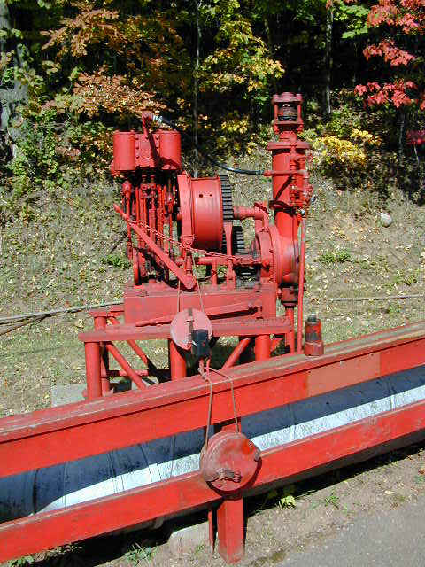
Iron Mountain Mine
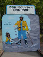


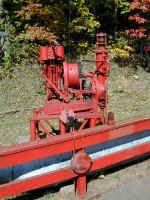
We traversed the
Upper Peninsula of Michigan along the Lake Michigan shore. The next morning we
toured one of the largest Iron Mines of the last century learning about the
transition from mules to steam to electric mining, and the transition to lower
grade mining as the technology improved. Our guide was local and very
knowledgeable (and very colorful). Here he is showing the type of drill that was
used to make the initial exploratory tunnels. Six companies went bankrupt
looking for the high grade iron ore. The seventh company made it work by
using the device shown in the last picture. Much like oil drilling, it was
used to drill down from the surface and take core samples. In that way,
they quickly found the high grade ore and begin mining in earnest. It was interesting to learn that most of the
miners eagerly anticipated the closure of the mine at the end of WW2. Most had
saved their extra earnings from the war years and used their savings to buy
farms or businesses and stay in the community.
Back to Top
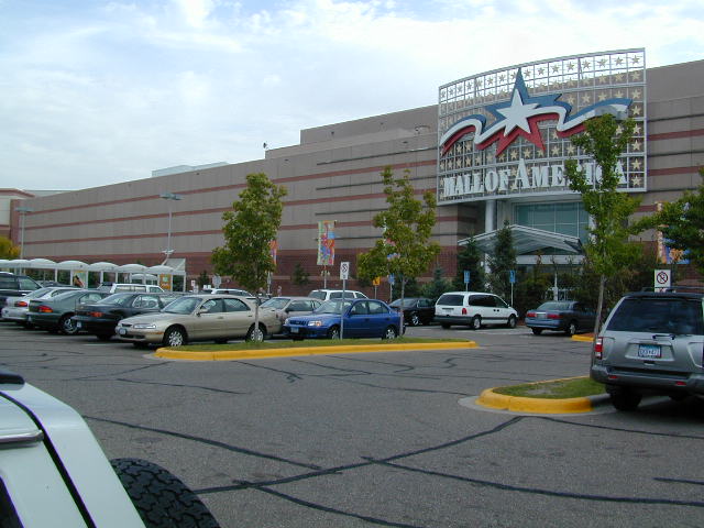
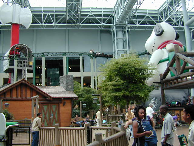
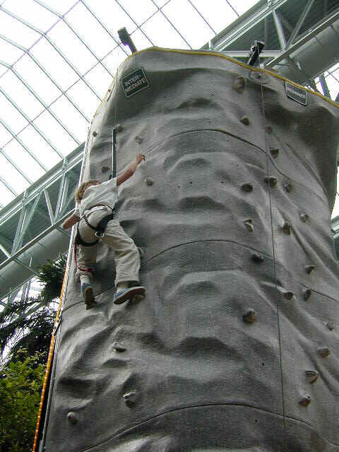
Twin Cities

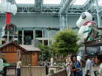
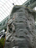
After three weeks
in Canada traveling every day, we headed for the Twin Cities for some LMAs and
hanging out. After visiting Denny's aunt and cousin's family, doing eight loads
of laundry and Stephanie's American History and Constitution test (she did very well) we headed
to MALL OF AMERICA!! For Steph, the highlight was the Camp Snoopy amusement park,
with a real roller coaster in the
middle, and the climbing wall. For the dad it was the novelty and for mom it was
Nordstrom's. Something for everyone.
See you next
month!
Back to Top